Norwegian Institute for Air Research Stops Monitoring Radiation Fallout from Fukushima
Update: Click here to read more about "Zardoz"
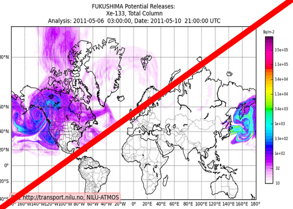
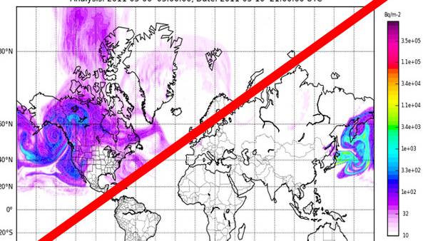
The vital and important static map based on real time tabulations of the Norwegian Institute of Air Research pertaining to potential releases of radiation from the Fukushima plant have been closed down.
The Atmospheric and Climate Change Department at the Norwegian Institute for Air Research (NILU) has given no reason why the vital monitoring service has been discontinued.
I've tried to write to them through their website to inquire why, but unfortunately the web based contact form will not submit due to an unknown exception error.
I think it's interesting that at this very crucial time this incredibly important service has been discontinued. Many around the web and youtube have been using the service to get a somewhat accurate reading on how the radiation from Fukushima have been carried with the jet stream and winds around the northern hemisphere.
It was previously found on this URL: http://transport.nilu.no/browser/fpv_fuku?fpp=conccol_Xe-133_;region=NH.
You now get a 404.
If you go to the products page and click in on Fukushima it just says: "Thank you for your interest in the FLEXPART products for Fukushima. The Forecast system is no longer running."
http://transport.nilu.no/products/fukushima
The latest update was on 2011-05-11 at 21:12
Anybody who feels like writing to them and ask why they closed down their service can do so on this page: http://transport.nilu.no/contact-info. I hope you have more luck then me to get the form to submit without errors.
The last I can remember from the service today around 5pm (GMT+1 my time zone) was a massive "cloud" getting close to the north west of the States and the west of Canada all the way up to Alaska.
Any further information or links to other similar services would be essential at this time. Write me at: redicecreations@gmail.com


